Photography · Aerial · Video
Real estate, ranch & drone photography in Central Texas
Wide-open land never looks as big as it really is from the ground. I photograph listings, ranches, and acreage from ground level and from the air, flying under an FAA Part 107 certificate, so the property shows at its actual scale. Based in Stephenville, working across the surrounding counties and out to the Permian Basin for commercial jobs — and for brands anywhere, product and lifestyle imagery that only requires you to ship me the product.
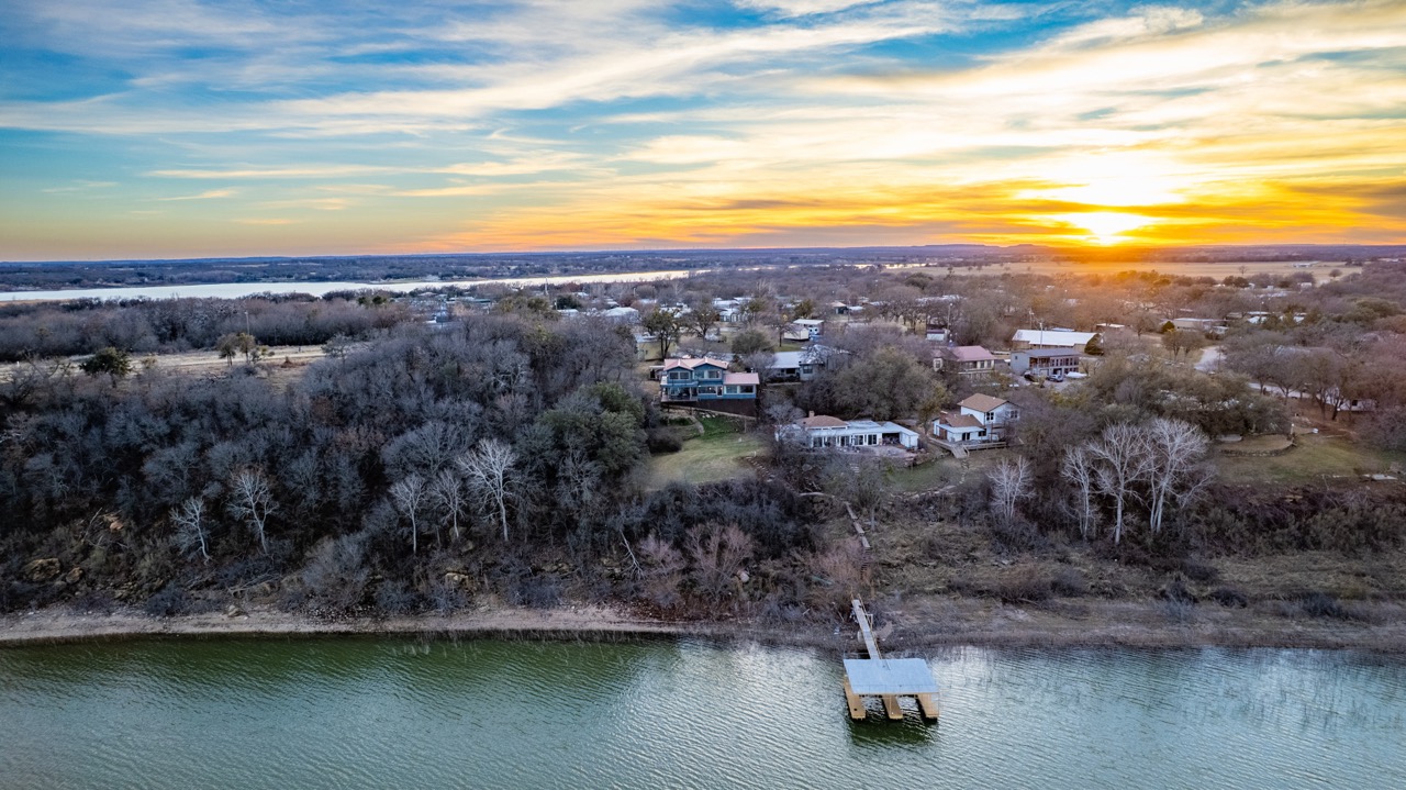
Lakefront property at sunset, from altitudeBrown County, Texas
What I shoot
Real Estate & Listing Photography
Residential, rural, and commercial property photography built for MLS listings, marketing materials, and online syndication. Interior, exterior, and lifestyle coverage that makes the listing worth the click.
Ranch & Large-Acreage Aerial
Drone-first coverage for ranch land, hunting properties, timber, and agricultural acreage. Scale, terrain, water features, fencing, and improvements, all captured from the air, where a buyer can finally see what they're buying.
Aerial Video Production
Cinematic drone footage for property listings, land sales, and brand projects, edited for web delivery, social, and presentation use.
Oilfield & Construction Media
Commercial documentation photography and video for oilfield operations, well sites, and construction projects, serving the Midland, Odessa, and San Angelo markets.
Commercial & Brand Photography
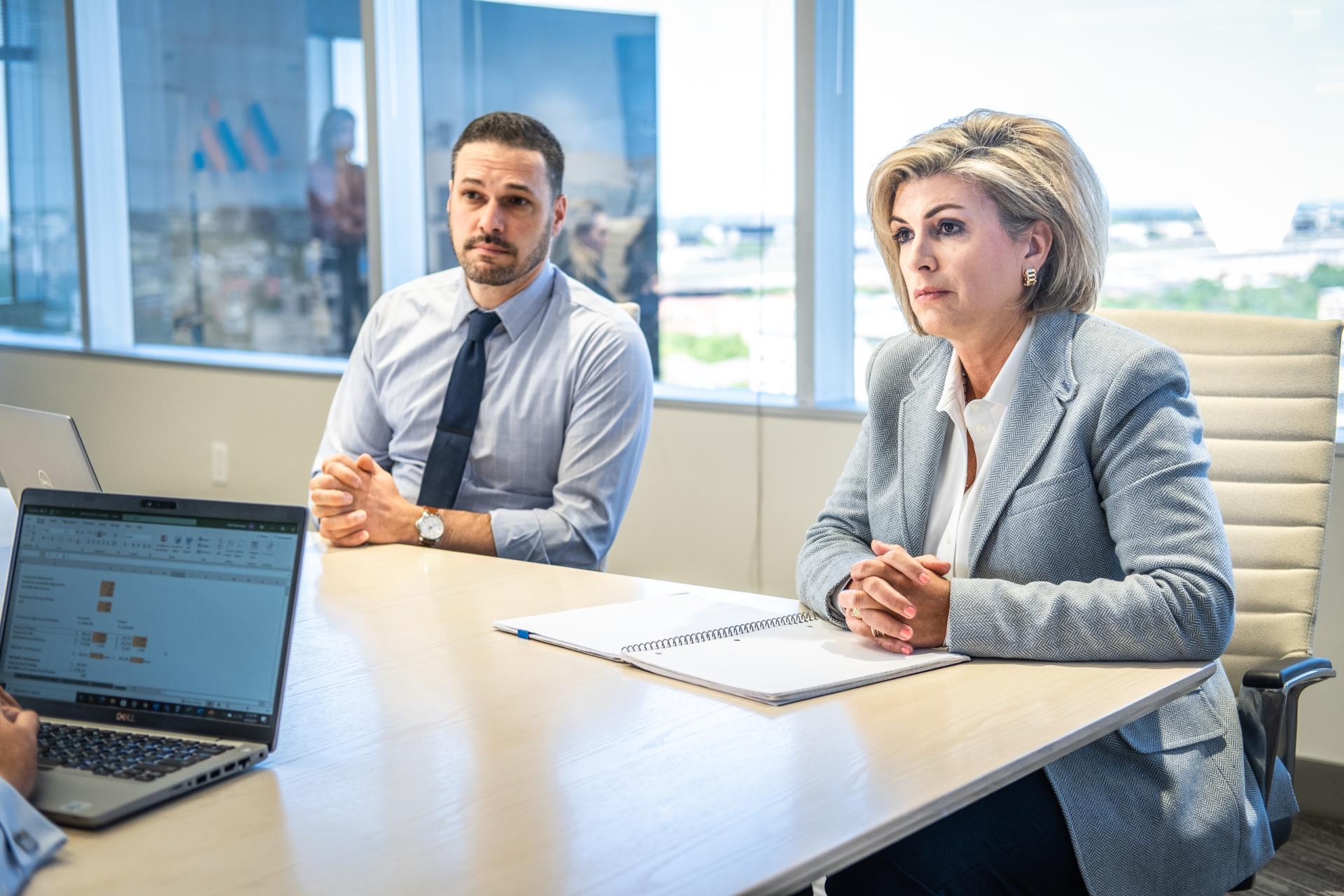
Product, industrial, and brand work. I've served as a director of photography for Interstate Batteries, Polycom, and Midtronics, and I bring the same standard to regional clients.
Product & Lifestyle Photography
Studio product photography and styled lifestyle imagery for DTC and CPG brands — food, audio, home goods, sleep, and everything between. Distance is no obstacle: ship the product to Texas and I'll send back a library.
Properties, told from every angle
Lakefront listings, wide-open ranchland, and everything between: ground-level detail paired with aerial perspective that moves property.
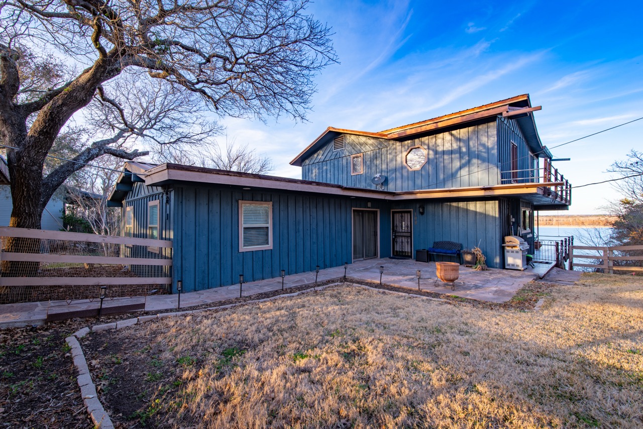
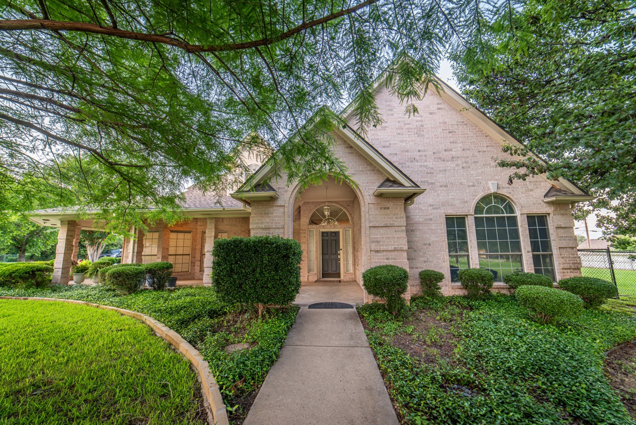
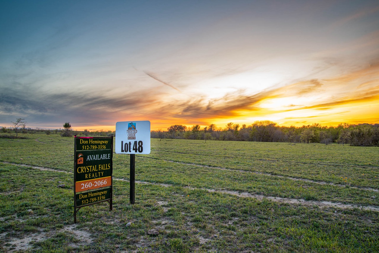
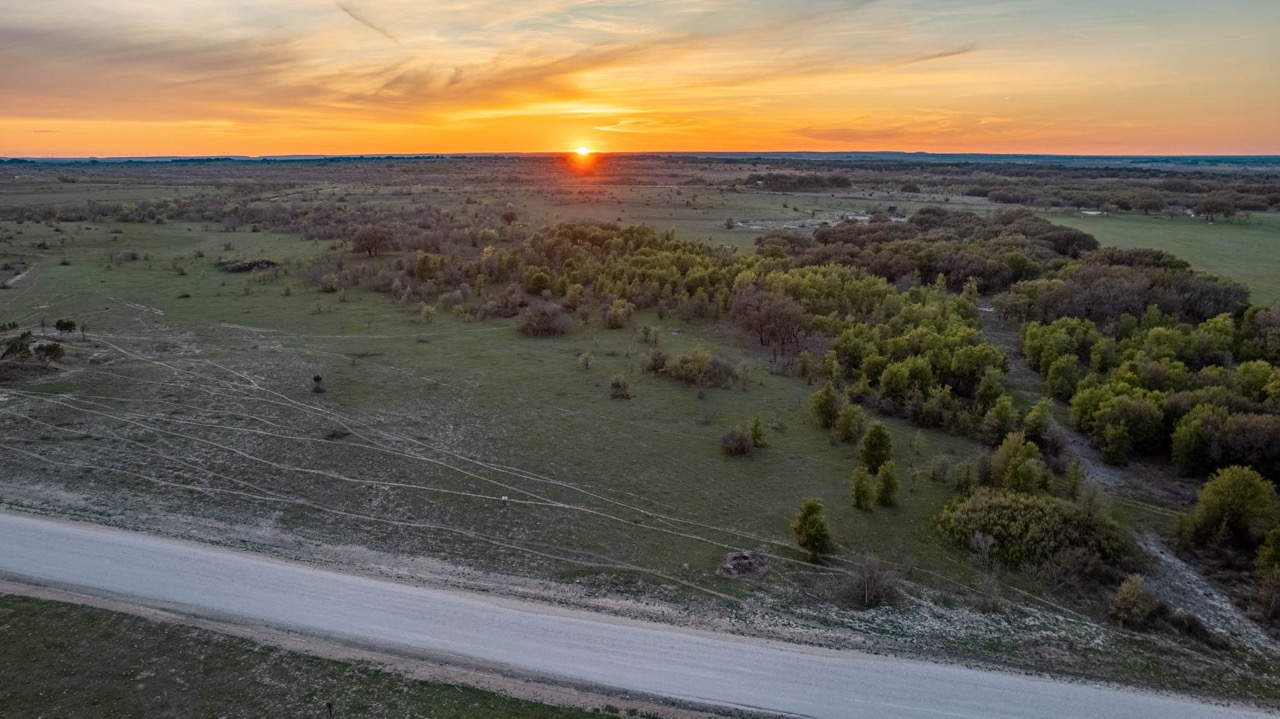
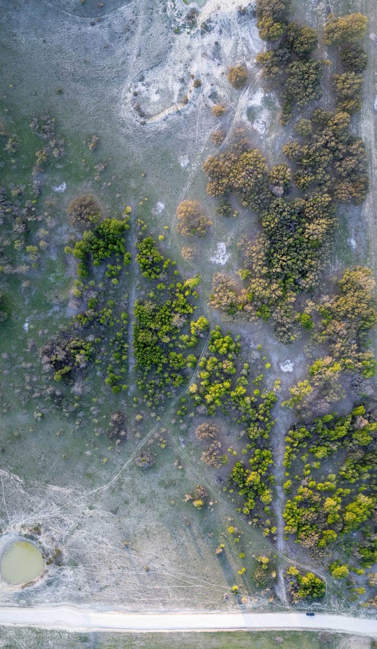
Additional portfolio available on request: ranches, hunting properties, construction, and oilfield.
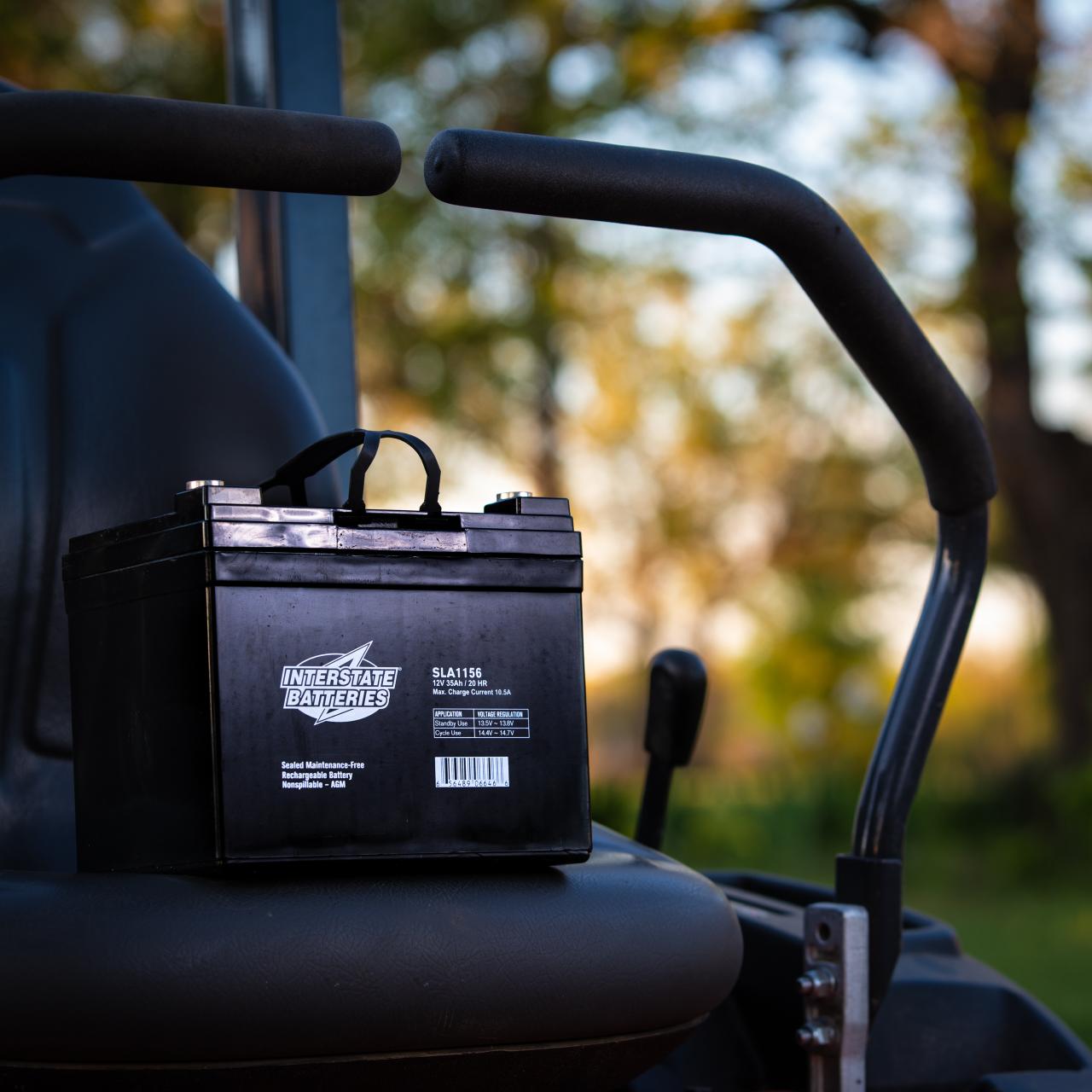
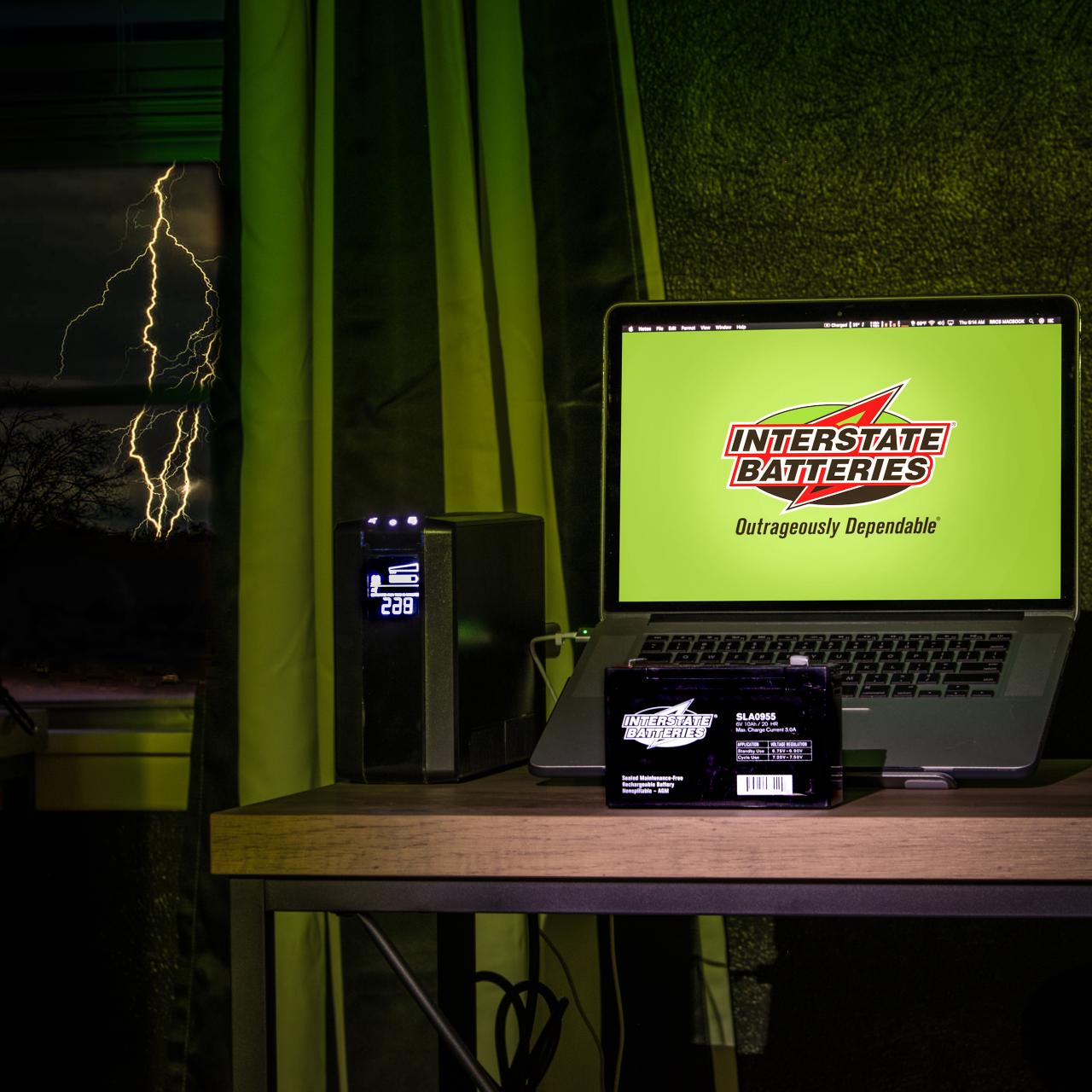
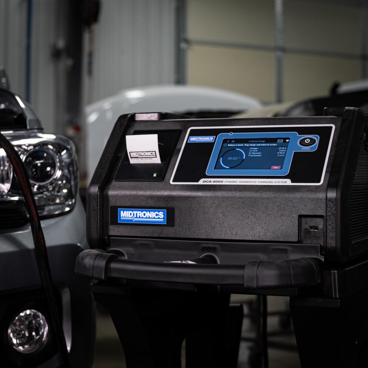
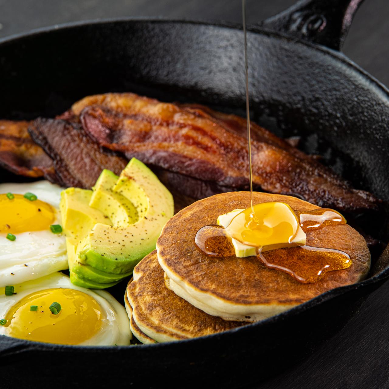
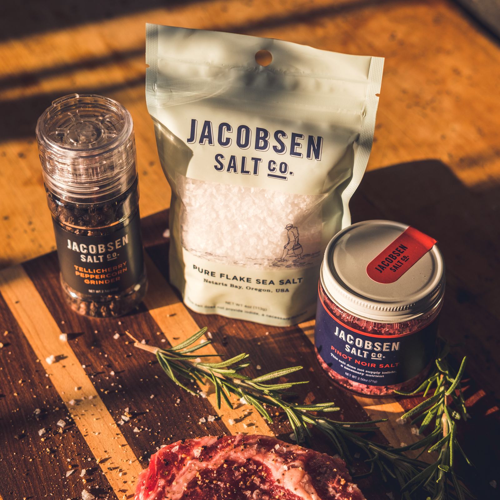
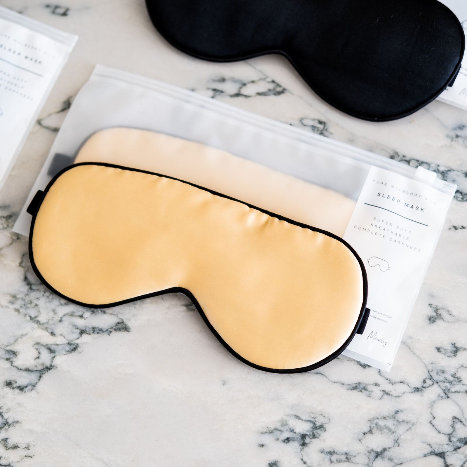
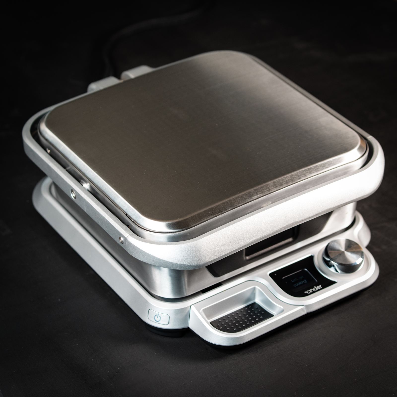
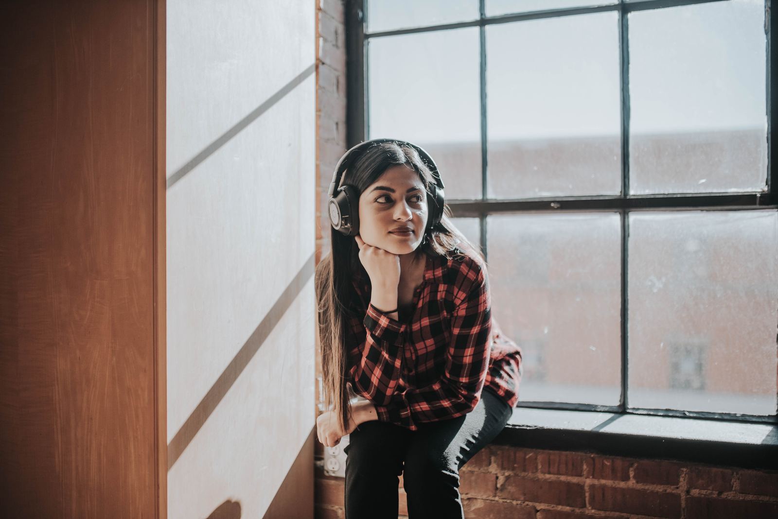
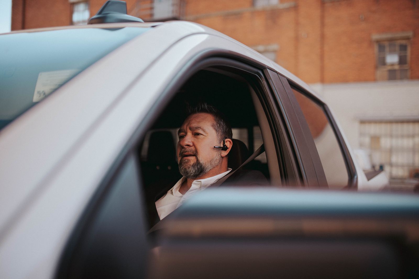
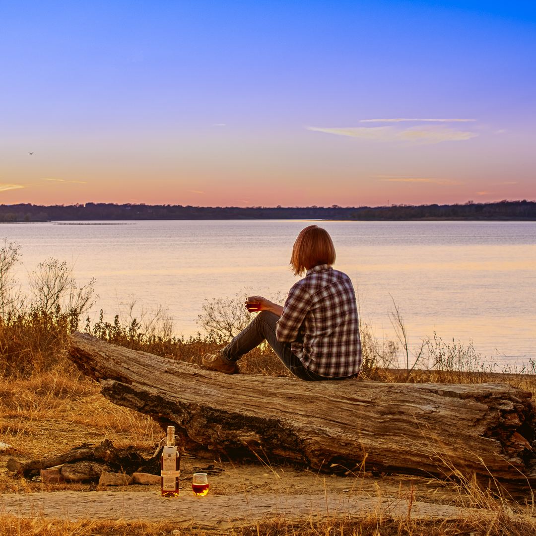
Product and lifestyle work ships: send the product to Texas, get a library back.
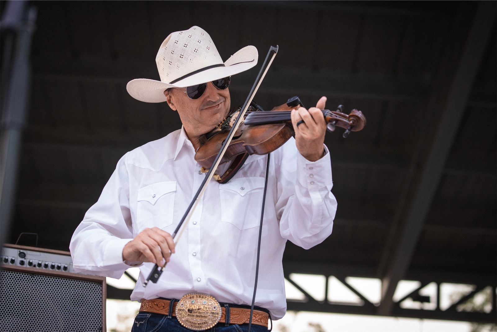
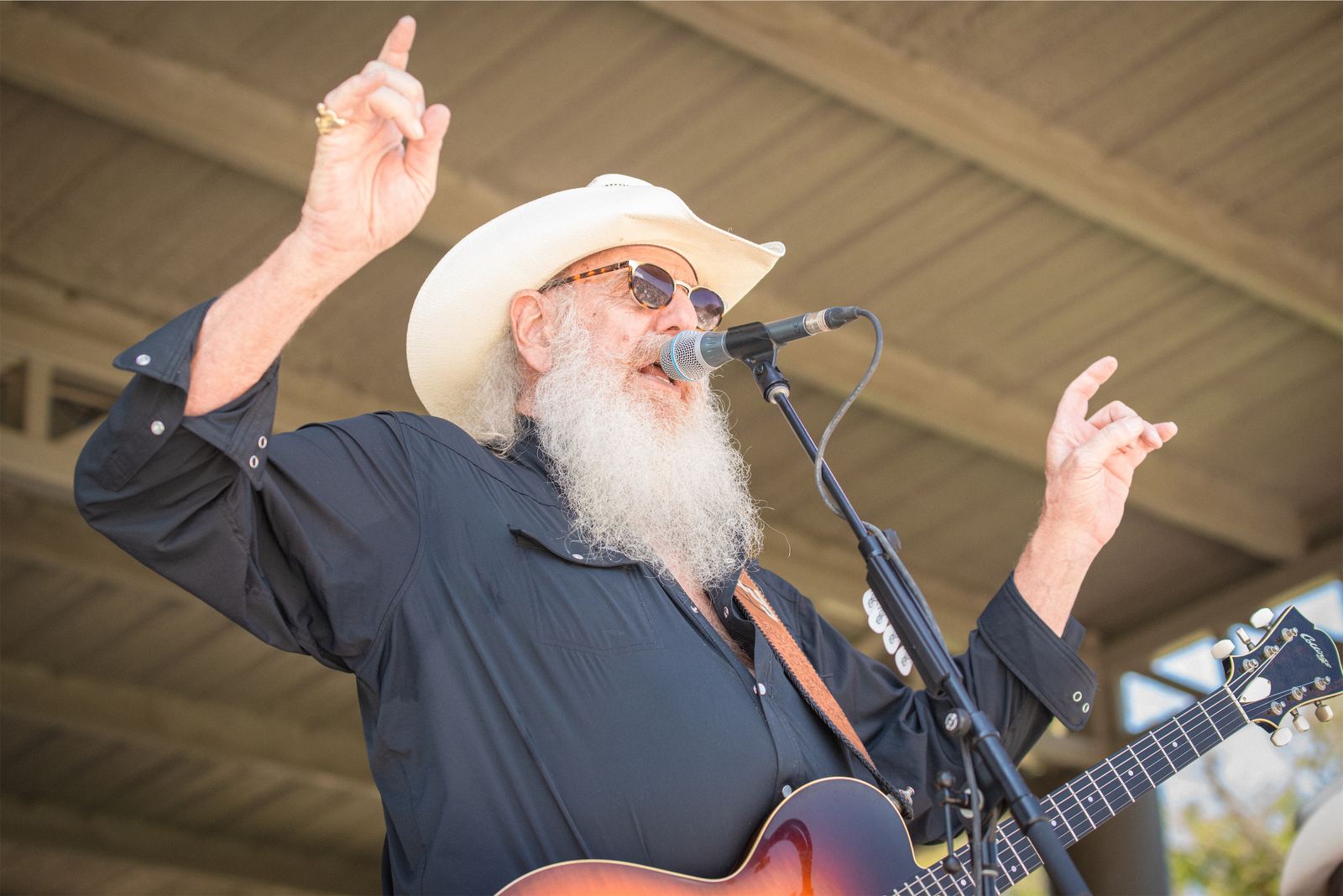
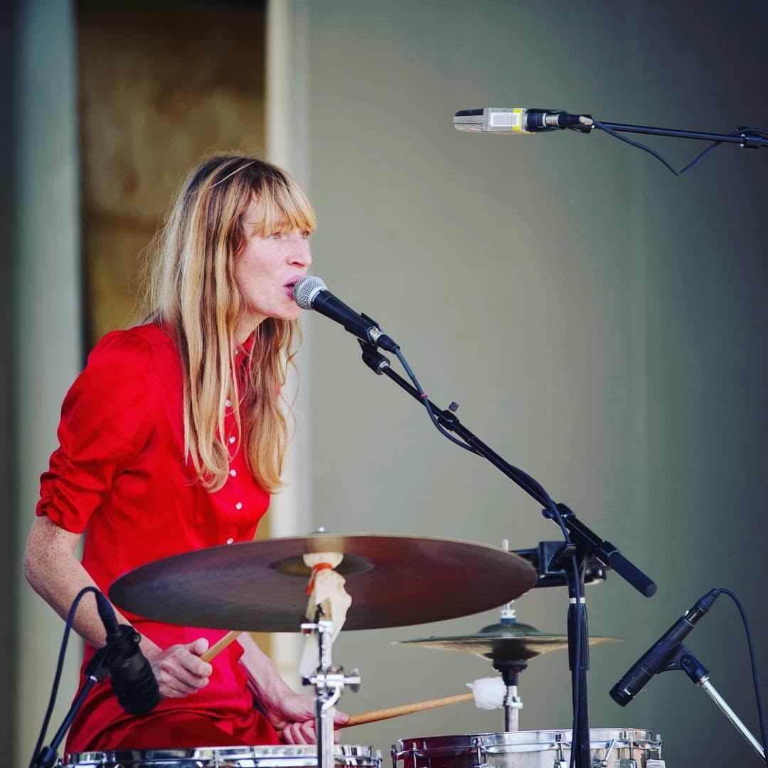
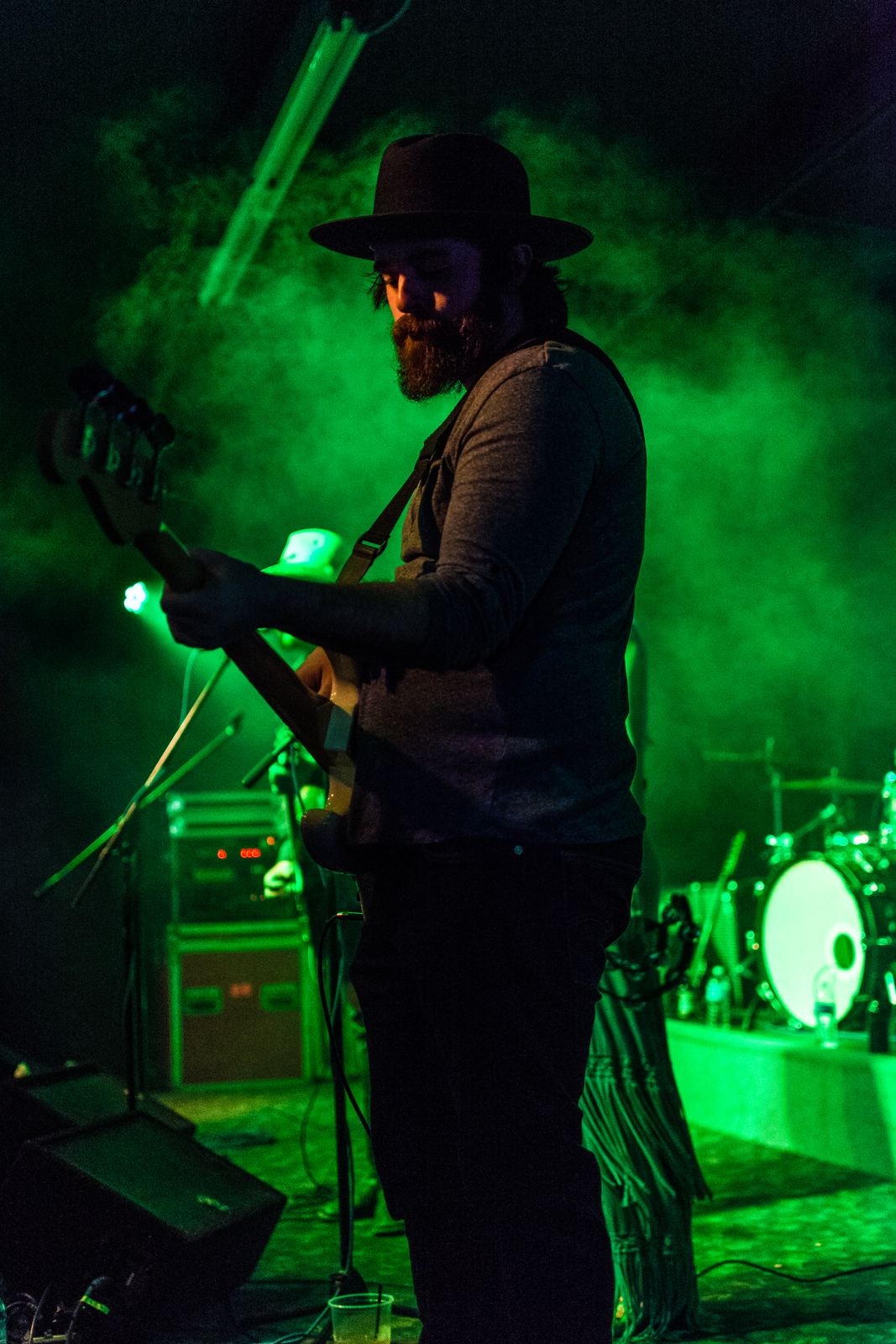
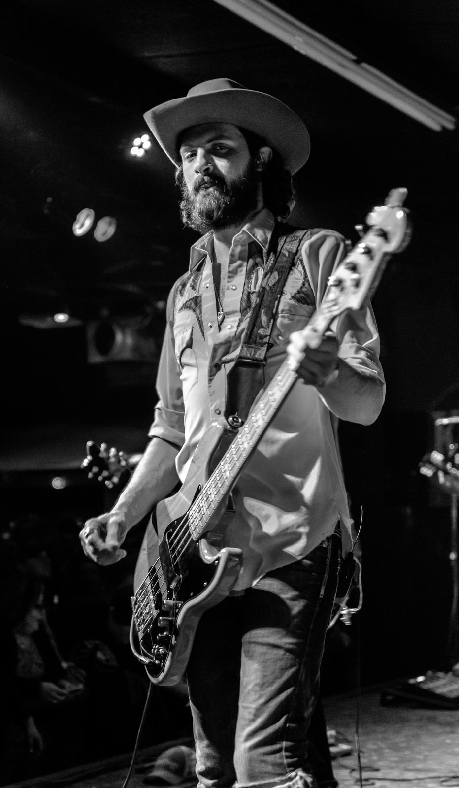
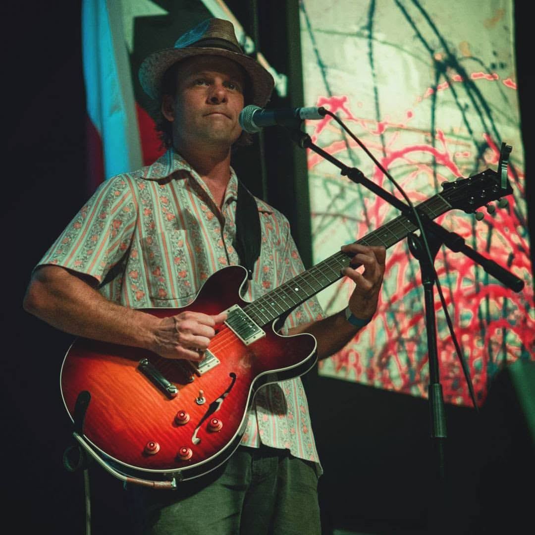
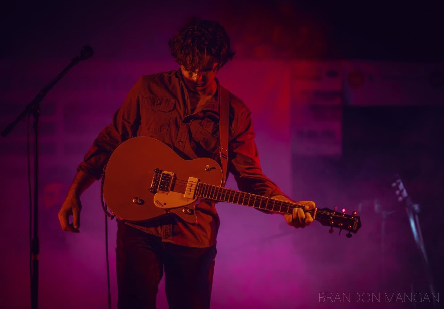
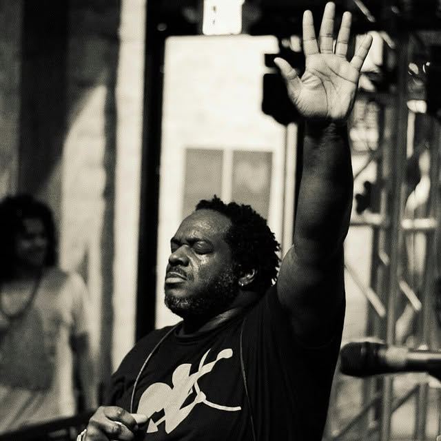
Where the whole practice started. I've spent years photographing live music across Texas — festivals, dance halls, and clubs, in every kind of light a stage can throw at you.
Where I shoot
Real estate and property media across these Central Texas communities and every county connecting them. Commercial and oilfield work travels further west.
FAA Part 107 Certified Remote Pilot · Commercial Drone Operations
Things people ask
What areas do you cover for real estate photography?
Stephenville, Dublin, Brownwood, Comanche, Granbury, and the surrounding counties, plus Midland, Odessa, and San Angelo for commercial and oilfield work.
Are you licensed to fly drones commercially?
Yes. I hold an FAA Part 107 Remote Pilot Certificate, which is required for any commercial drone operation in the United States.
Do you photograph ranches and large acreage?
Yes. Ranch and large-acreage work is a specialty — drone-first coverage that captures scale, terrain, water features, and improvements that ground-level photos can't show. Aerial video is available for most properties.
How fast is turnaround on listing photos?
Most residential listing shoots are edited and delivered within two business days. Larger ranch and commercial projects vary with scope — timelines are agreed before the shoot.
Do you shoot product photography for brands outside of Texas?
Yes. Product and lifestyle work doesn't require me on your doorstep — ship the product to Texas and I'll send back a full library. I've shot for DTC and CPG brands across the country this way.
Book a shoot
Tell me about the property — location, acreage, and when you'd like it on the market. I'll come back with a plan and a price.
Pick a time that works. No back-and-forth.
Message received.
I'll get back to you within one business day. Need something sooner? Call or text 325.330.3940.